Daniel Salzler No. 1257 EnviroInsight.org Four Items May 7, 2024
—————Feel Free To Pass This Along To Others——————
If your watershed is doing something you would like others to know about, or you know
of something others can benefit from, let me know and I will place it in this Information .
If you want to be removed from the distribution list, please let me know.
Please note that all meetings listed are open.
Enhance your viewing by downloading the pdf file to view photos, etc.
The attached is all about improving life in the watershed through knowledge.
If you want to be removed from the distribution list,
please let me know. Please note that all meetings listed are open.
Check our website at EnviroInsight.org
1. River Match. Draw a line to match the river with the flow milage? Answer at end of newsletter
Colorado River (flows through seven states) 2,340 miles
Missouri River (flows through seven states)) 1,243 miles
Mississippi River (flows through ten states) 1,443 miles
Yukon River (flows through two territories and one state) 981 miles
Rio Grande (flows through seven states) 1,979 miles
Arkansas River (flows through four states) 2,341 miles
Columbia River (flows through one territory and two states) 1,759 miles
Ohio River (flows through Ohio, Pennsylvania,Illinois) 1,125 miles
Red River (flows through four states) 979 miles
Tennessee River (flows through four states) 1,240 miles
2. Shrinking Colorado River Faces Another Water-Sapping Threat. Warming temperatures will sap more water out of the Colorado River — and many other waterways fed by mountain streams — as groundwater is depleted over the long term, new research shows.
The depletion will be enough to render sections of one important tributary river in Colorado completely dry in arid years, according to a study published last week in the journal Nature that examined data from the East River outside Crested Butte.
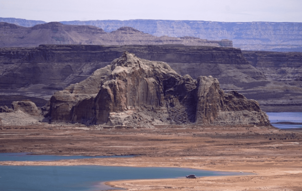
Low water levels at Wahweap Bay at Lake Powell along the Upper Colorado River Basin are pictured, June 9, 2021, at the Utah and Arizona border at Wahweap, Ariz.
As water experts negotiate the next long-term plan among several states to divvy up the over allocated Colorado River, scientists working in Colorado identified a new factor that will affect how much water is available in coming decades.
As the West heats up, the study found, mountain groundwater storage will deplete and the mountain streams that feed the region’s rivers will drastically shrink.
Few previous studies have attempted to quantify how climate change will affect mountain groundwater’s contributions to streamflow in the long term. Scientists who conducted the study found that depleted groundwater stores, coupled with warming, could reduce stream flows by up to 34%. Without accounting for groundwater loss, models predict stream flow loss of up to only 13%.
“If we don’t account for groundwater in our future projections, we’re potentially underestimating flows in the future,” said Rosemary Carroll, lead author of the study and a Crested Butte-based research professor with the Desert Research Institute. “It’s something that needs to be on the table.”
The East River sends water from the mountains north of Crested Butte to the Gunnison River, which is a major tributary to the main stem of the Colorado. The East River is representative of many headwaters streams in the Colorado River Basin, the study states.
Groundwater functions as a savings account in mountain water systems, Carroll said. In dry years, groundwater supplements low-flowing streams. In wet years, water returns to the ground and the savings account replenishes.
“It smooths out the wet and dry years,” Carroll said. “But if you deplete your savings, you have nothing to draw from.”
Models from Carroll’s team show that groundwater levels will not recuperate as fast — or possibly at all — as the mountains become hotter and drier, with drought becoming more severe and constant.
Higher temperatures and drier air increase evaporation, which will reduce the amount of water available in mountain ecosystems. Thirstier vegetation will suck more water from the ground. When groundwater levels fall and cannot recuperate, water is drawn into the water table, instead of flowing downstream.
Already, aridification and warming are sapping groundwater storage — and the water “savings account” will be even less full by the end of the century. Data shows that after a particularly dry year on the East River in 2018, which occurred during four years of low-to-no monsoon activity, the groundwater systems never fully rebounded.
“We’re already starting to see some signs that this is happening,” Carroll said. “And the model says this might be an important problem in the future.” Source: Las Vegas Sun
3. How’s Is Your City’s Water Consumption. The Glendale City Council recently reported that last year total potable water usage was decreased to 37,400 acre-feet (325,850 gallons are in 1 acre-foot) from 39,741 acre-feet used in 2022.
Sources for that water was 36% from Central Arizona Project, 61% from Salt River Project, and 3% from groundwater. The actual water supplies available to Glendale from these sources in 2023 was 685,500 acre-feet. Of the 37,400 acre-feet, the city produced about 15,200 acre-feet of effluent water used for ground water recharge, large turf and lakes, and water sent to the Palo Verde Nuclear Generating Station for cooling purposes. Some of Glendale’s excess water allocation was sold back to improve Lake Mead Levels, while other excess water is being stored in the SRP water system.
SRP’s water storage system is 91% full and in excellent condition and the Colorado River Watershed for 2023-2024 is slightly above normal. Additionally, sufficient water transfers will occur to Lake Mead to maintain the lake’s water levels this year. The city is also investing in modifications to Bartlett Dam which will provide an additional 5,107 acre-feet of water, and in advanced water purification systems to convert effluent water to potable water. Source: City of Glendale
4. Removing PFAS (Forever Chemicals) In your In- Home Water System.
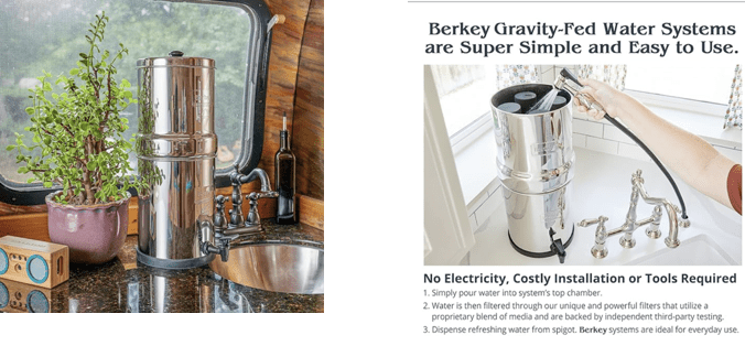
Longest Filter Life: Travel Berkey 100% removal of tested PFAS $327.00
Lowest Initial Cost: Zero Water 100% removal of tested PFAS $ 24.99 but have to replace filters often. Yearly cost $646.06
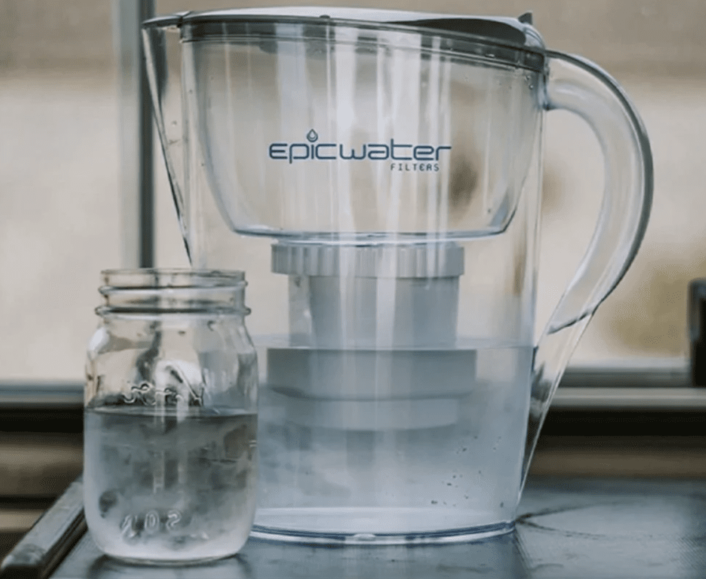
Epic Water Filter 98% removal of tested PFAS. ~$85.00 EWG Recommended
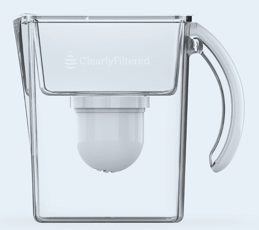
Honorable Mention : Clearly Filtered 100% removal of tested PFAS. $ 81.00
Source: Environmental Working Group (EWG)
4. Notice of Proposed Rulemaking to Update Numeric Surface Water Quality Standards
The Arizona Department of Environmental Quality (ADEQ) has filed a Notice of Proposed Rulemaking (NPRM) with the Secretary of State to update Arizona’s numeric surface water quality standards. This NPRM is limited in scope and proposes to apply the scientific process from the 2023 Triennial Review to update the
numeric pollutant criteria to protect public health in Arizona (see Arizona Administrative Code Title 18, Chapter 11, Article 1). Additionally, this NPRM includes minor technical edits to Appendix B to ensure accurate surface water descriptions and locations.
MEETING INFORMATION
ADEQ invites interested person to join and provide input at the following meetings regarding the proposed rules:
Virtual information meeting
Date June 17, 2024
Time 1:30 to 2:30
Location online via GoToWebinar l Register (https://register.gotowebinar.com/register/8132854853768561246)
Public hearing
Date July 17, 2024
Time 1 PM
Location: in person at ADEQ Phoenix office room 3175
1110 W. Washington St., Phoenix AZ 85007
or go online via go to webinar l Register to Join Online (https://
register.gotowebinar.com/register/5970752099165790549
************************************************************
Copyright: 2024 EnviroInsight.org
Answers to Number 1 (https://en.wikipedia.org/wiki/List_of_longest_rivers_of_the_United_States_(by_main_stem)
Colorado River (flows through seven states) 1,450 miles
Missouri River (flows through seven states)) 2,341 miles
Mississippi River (flows through ten states) 2,340 miles
Yukon River (flows through two territories and one state) 1,979 miles
Rio Grande (flows through seven states) 1,759 miles
Arkansas River (flows through four states) 1,443 miles
Columbia River (flows through one territory and two states) 1,243 miles
Red River (flows through four states) 1,125 miles
Ohio River (travels through six states) 979 miles
Tennessee River (flows through four states) 935 miles